

AARP Hearing Center


About the Author

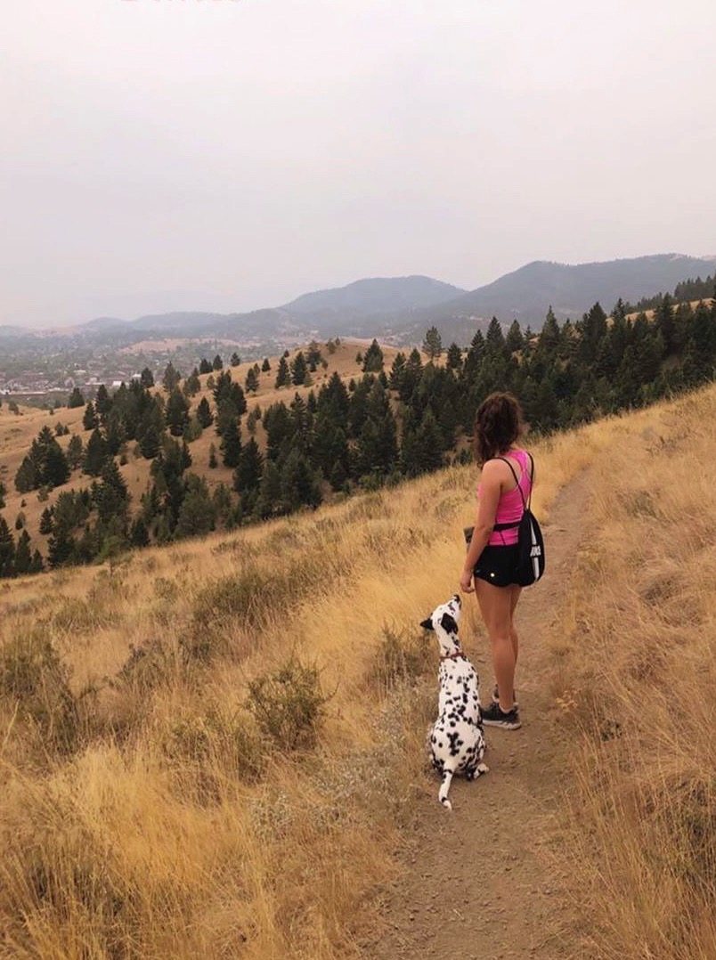
Hi! My name is Shannon, and I am currently an intern with AARP Montana and a student at Carroll College in Helena. I am originally from Seattle, WA and have started to explore Montana’s great outdoors! Last year I decided to get a dog, a Dalmatian, and she is the best. Dalmatians and many other dogs are very high energy and need lots of exercise. My dog, Ridley, and I go hiking everyday around Helena at various spots. She is so fun, full of energy, and really inspires me to get out and enjoy the little things. It has been a blast to explore and see the different scenery around me. You would be surprised just how stunning these trails really are. Join me on this adventure as we discover new trails!
One of Helena's Greatest Attributes: Her Incredible Hiking Trails
Shannon Steele
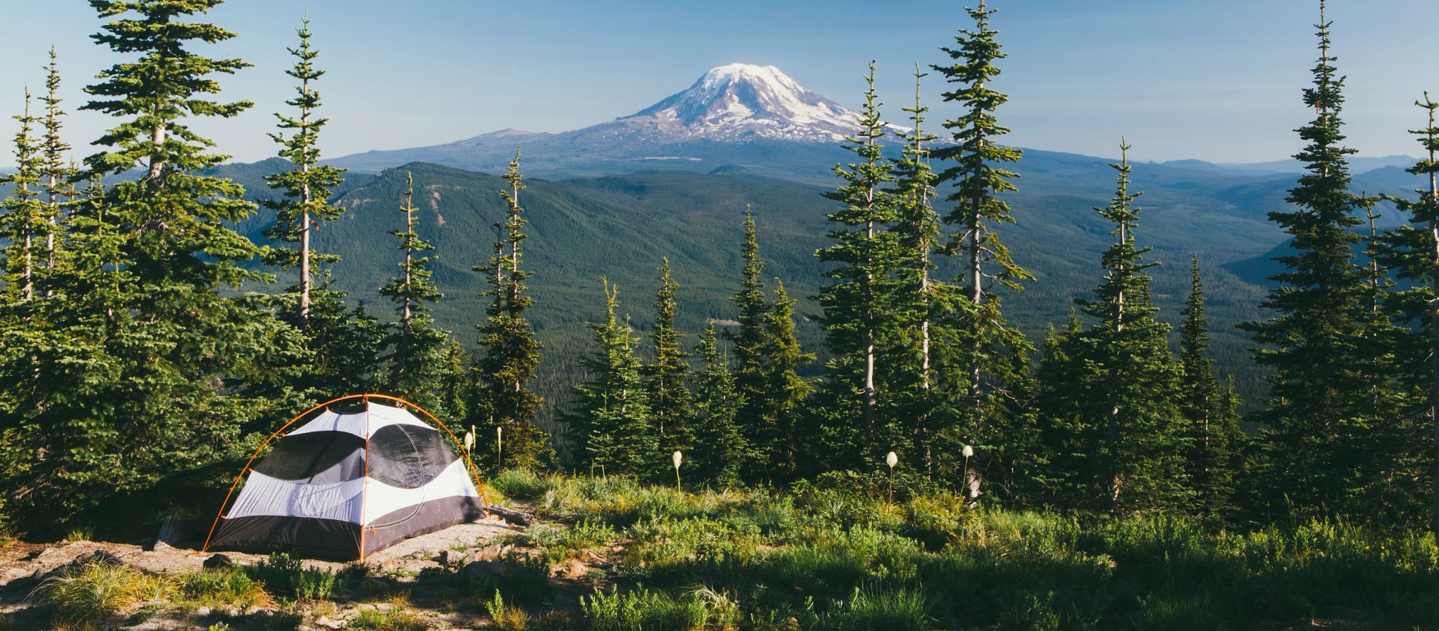
Okay, so now that we are done with the snow it is time to get out and enjoy what Montana has to offer. You can breathe the fresh air, get exercise, and have fun! Helena has miles of well-maintained trails nearby.
Hikers, if you have yet to explore the Helena trails, you will be surprised and delighted by how easy it is to go hiking around Helena. If you are a dog lover, you will be pleased to know that you will run into dogs on the trails. The nice thing about these trails is that they are all dog friendly and have the option to take your dog off leash. Hikers, please make sure your dog is trained before taking the leash off.
Best of all, there are plenty of hikes for all skill levels: easy, moderate, and hard.
Afraid you’ll get lost? Don’t be! Signs will guide you.
Mt. Helena
There are various trails that lead to the summit of Mount Helena, located inside the city limits that vary in difficulty. Hikers can reach most of the trails by going to the Mt. Helena Parking Lot. The parking lot is up Reeder’s Village which can be reached by taking Park Avenue. Hikers will pass Park Avenue Bakery and Reeder’s Alley on their way up, then there is a big sign that says Reeder’s Village which you will want to turn at. As hikers go up there are signs that direct you to the parking lot. At the parking lot, hikers will find bathrooms in the middle of the lot and a map of the trails at the beginning of the 1906 trail.
Pack a snack, some water, and sunscreen! Let’s hit the trails.
1906 Trail
Shannon Steele
First, Helena’s most travelled path, the 1906 trail. Hikers will start at the Mt. Helena parking lot. There are signs that will lead hikers along the way for them to stay on the right path. The 1906 trail is beautiful with scenery changing the farther you go up. At first, trees surround hikers. Further up there are cliffs which hikers can admire or, if you’re brave and able, ascend the rock face. Around these cliffs, a little hideout known as Devil’s Kitchen can be found, which is a small cavity in the side of the mountain that is fun to check out. Make sure to pick up your head every now and then to enjoy the view! This trail is a moderate hiking level and will take approximately 45 minutes to an hour to make it to the summit. Round trip, the trail is approximately 2 hours.
Powerline Trail

Shannon Steele
From that same Mt. Helena Parking lot, hikers can find the Powerline trail. Hikers will start on the 1906 path, which will then lead to the Powerline trail. It is on the left as hikers head up the path, with a sign that will point to the Powerline trail. Hikers will see a steep path up which follows a powerline, hence the name Powerline trail. There are multiple signs along the way to help guide you. This is a steep trail up and does not flatten. The Powerline trail will take about 35 minutes if you do not stop on the way up, which is very difficult. You will be breathing hard and probably will want to stop and turn around to see the view of Helena on the way up. With stops, the path could take up to an hour to reach the summit.
Base of Mt. Helena Trails
The nice easy trails on Mt. Helena are the Daisy-Hill Trail, Bitterroot Trail, and the Prairie Trail. These trails are all up the 1906 trail from Mt. Helena parking lot. The Daisy-Hill and Bitterroot trails are to the right when hikers first see the paths divide at the start. Hikers will find the directions for Daisy-Hill and Bitterroot trail on the same post that directs hikers to the Powerline trail. The Prairie trail is farther up the 1906 trail and hikers will come to a fork with a sign to lead them. These trails are nice for short hikes because hikers can wander around them for a short amount of time or take a loop, so it is a bit longer. The time can range anywhere from 10 minutes to an hour to finish your hike.
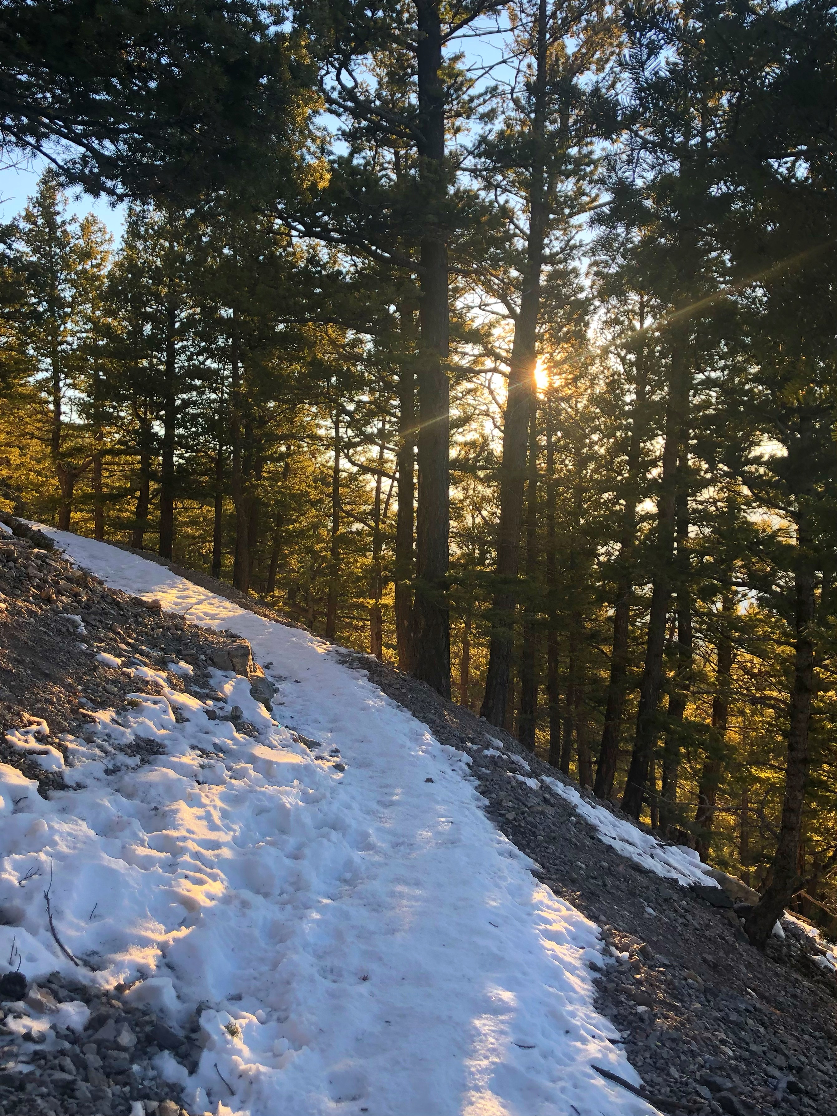
Prospect Shafts Trail
Shannon Steele
Instead of going to the right at the parking lot, hikers will need to go left, where there is another set of trails that wrap around to the summit. If hikers start walking on the path, the houses will be on the left and Mt. Helena will be on the right. Once the path splits hikers will need to follow the sign to take the Dump Out Trail or Prospect Shafts Trail. If hikers continue straight they will stay on Dump Out Trail, but if they want to make it to the summit then they will take a right to get on Prospect Shafts Trail which will then lead to Hogback Trail that goes straight to the summit. There are multiple signs along the way for both paths.
This is a very beautiful trail and if hikers get up there early enough flocks of birds will be singing. This trail can be easy to get lost on, using Google Maps is recommended if this is your first time taking the trail. It is a moderate level trail that will take a bit longer than 1906 or Powerline. To get to the summit you will take about an hour to an hour and a half. Once you are up there you can decide which path to take down, whether it be 1906, Powerline, or Hogback. Roundtrip, this trail can take up to 3 hours.
Dump Gulch
Shannon Steele
Another trail system to reach the summit of Mt. Helena is up in Grizzly Gulch. Hikers will want to drive past Reeder’s Village and stay right at the fork in the road to stay on Grizzly Gulch for about a quarter of a mile. Dump Gulch Parking Lot will then be on the right. At Dump Gulch there are two trails that you can take, the McKelvey trail and the South Dump Gulch Trail. The McKelvey trail is moderate, while the South Dump Gulch is more strenuous. Both trails will connect to the 1906 trail at the top. From the parking lot, hikers will want to stay right to go up the gulch to take the McKelvey trail. Hikers continue straight up the trail for about a mile and then keep left at the fork where a sign will direct you to stay on the McKelvey trail where it then branches off to the Hanging Draw trail. As hikers continue there will be a sign that says West End Trail. Hikers will follow this trail until they meet the 1906 trail and then will follow the 1906 trail to the summit. If hikers decide to take the South Dump Gulch trail, it is quite steep and longer than the McKelvey trail. From the parking lot, South Dump Gulch trail is to the left and has a steep beginning. Hikers will follow the South Dump Gulch until they reach a fork with a sign that directs hikers to the right, where they will want to continue on the South Dump Gulch trail that also connects to the West End trail and then to the 1906 trail. This trail is steep, but worth it! You can look out on your way up where it plateaus and look over Grizzly Gulch and towards the mountains for a spectacular view. Both these trails take longer and will take about an hour and a half to 2 hours to reach the summit. Roundtrip, it will take hikers about 3 to 4 hours.
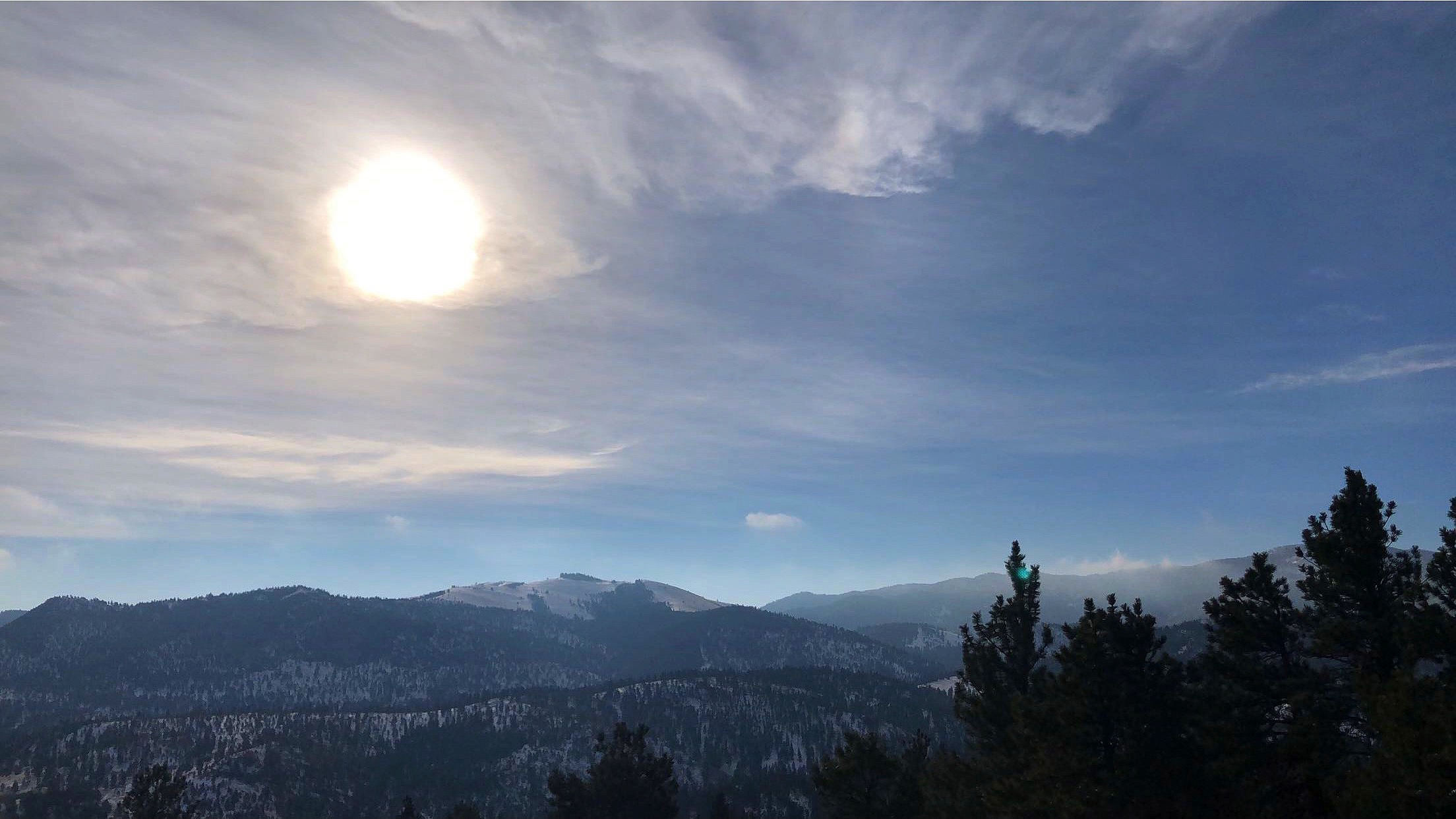
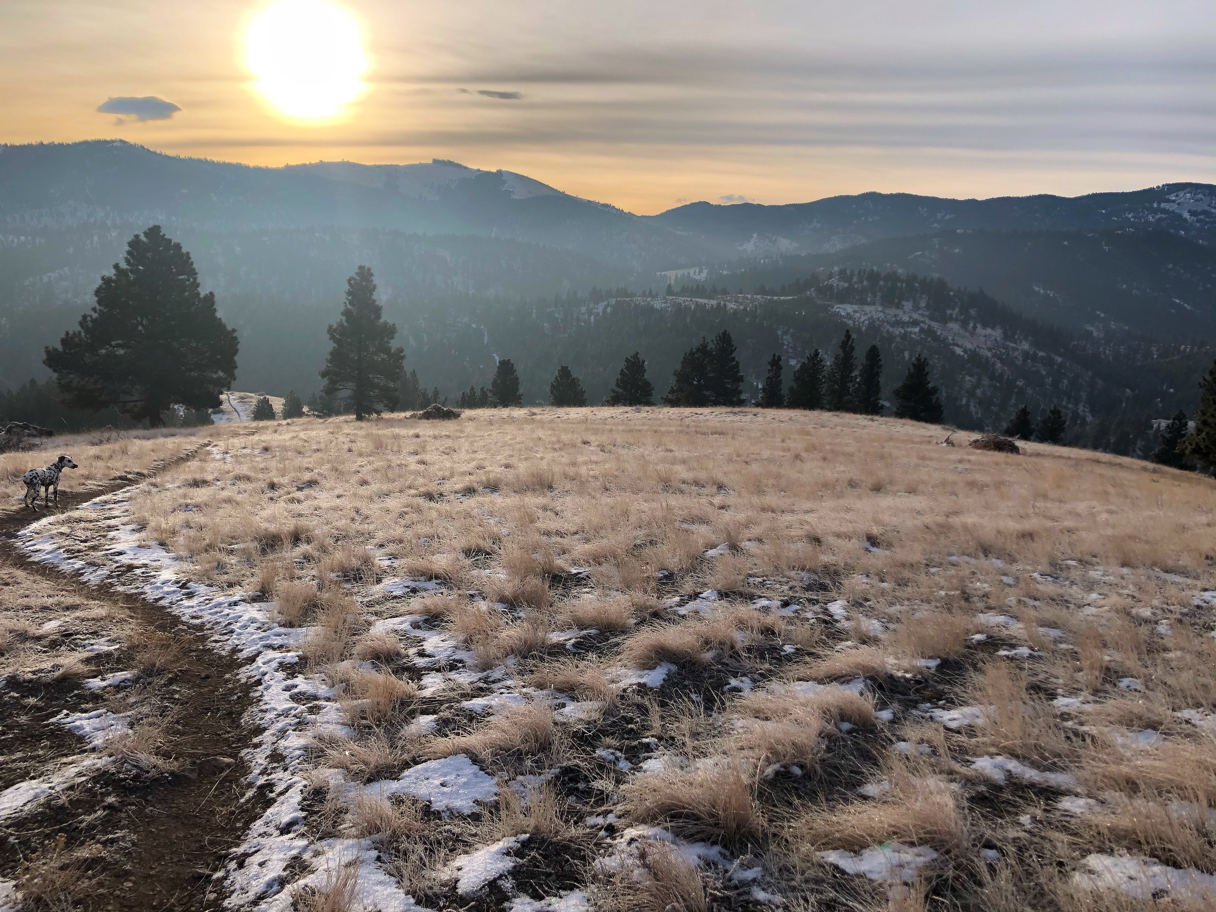
Mt. Helena Ridge Trailhead

Shannon Steele
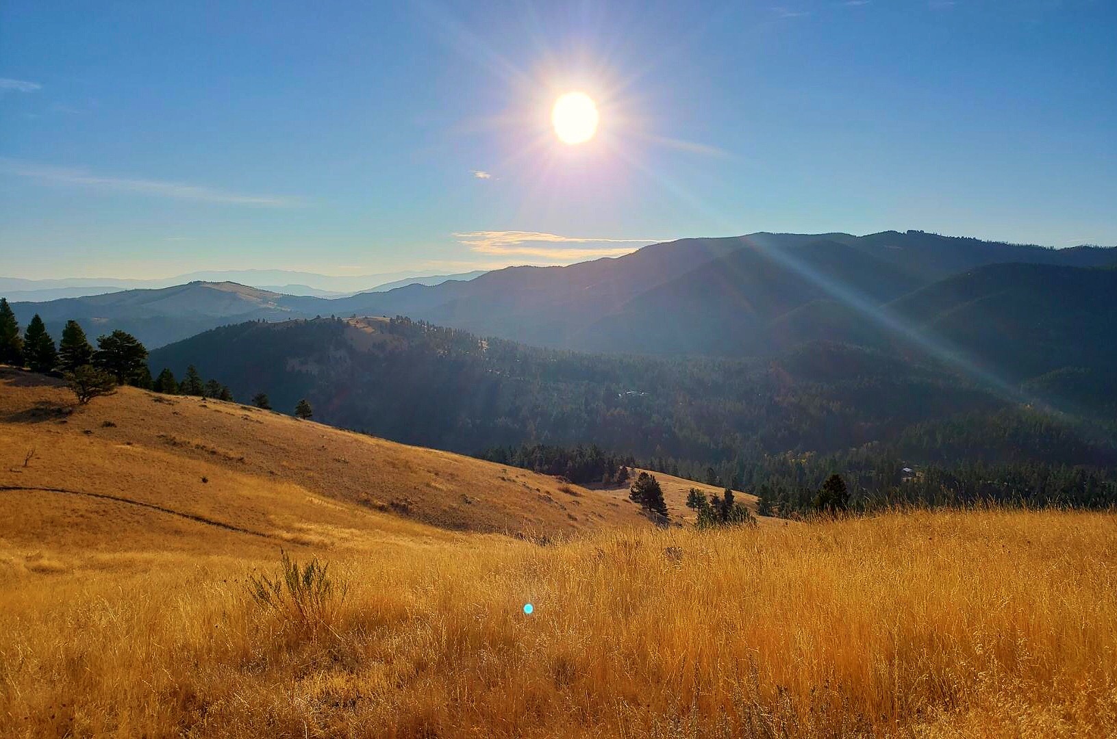
The last trail system on Mt. Helena to check out is the Ridge Trail that is accessed by going up Grizzly Gulch. Grizzly Gulch is a dirt road, but hikers can also reach the trailhead via Oro Fino Gulch Drive which is a paved road most of the way up before turning into a dirt road, which connects to Grizzly Gulch. Hikers will start the trail at Mt. Helena Ridge Trailhead. I would recommend using navigation if you have not been up before. There is no cell service at the trailhead so you would need to program in the location beforehand. Hikers have the option of taking the Ridge trail all the way to the front of Mt. Helena. This would probably be a day hike if hikers followed the trail all the way down. A great way to enjoy the hike would be to go to the top of the ridge which only takes about 40 minutes. Hikers can follow the ridge trail as far as they like before they turn around. When hikers are at the top of the ridge, they can look out and see the amazing golden grass of Montana along the mountain. As hikers continue along the trail, they will enter a forest of trees with thick moss that hangs down and will also be able to smell the fresh tree sap. Round trip to take this trail is approximately 2 hours with stops to enjoy the view.
| Level | Trail |
| Easy | Daisy-Hill Trail, Bitterroot Trail, and Prairie Trail |
| Moderate | Mt. Helena Ridge Trail (backside of Mountain), McKelvey Trail, Prospect Shafts trail, and 1906 trail |
| Hard | South Dump Gulch trail and Powerline trail |
About AARP Montana
Contact information and more from your state office. Learn what we are doing to champion social change and help you live your best life.